
INSEE/Postal code 76541 /76480 Local time Thursday 9:24 AM | Region Normandy Time zone CET (UTC+1) Area 9.96 km² Population 1,103 (1999) | |
 | ||
Weather 7°C, Wind NE at 16 km/h, 86% Humidity | ||
Roumare is a commune in the Seine-Maritime department in the Haute-Normandie region in northern France.
Contents
Map of Roumare, France
Geography
A village of forestry and farming situated in the pays de Caux, just 6 miles (9.7 km) northeast of Rouen at the junction of the D47, D90 and the D67 roads. The junction of the A150 autoroute with the A151 lies entirely within the commune’s territory.
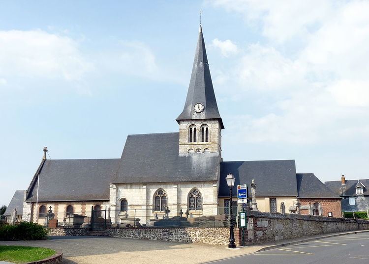
Places of interest
References
Roumare Wikipedia(Text) CC BY-SA