
- summer (DST) CDT (UTC-5) Local time Thursday 3:12 AM | Zip code 70773 Area code 225 | |
 | ||
Weather 16°C, Wind W at 8 km/h, 91% Humidity Parish | ||
Rougon, (pronounced Rue Gahn) is an unincorporated community in southeastern Pointe Coupee Parish, Louisiana (USA). The area is home to several plantation houses.
Contents
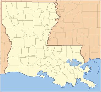
Map of Rougon, LA 70773, USA
History
The community was formerly home to the now defunct P. V. Rougon store built in 1881.
Geography
There are no officially designated boundaries to the village, but the area is more or less bounded by Louisiana Highway 414 on the northern edge of the area, LA-983 on the western edge, a set of railroad tracks on the eastern edge, and southern Pointe Coupee Parish border on the southern edge. The zip code assigned to this area is 70773.
Major Roadways
Education
There is one school in the area, Rougon Elementary School (formerly Rougon High School).
See also
References
Rougon, Louisiana Wikipedia(Text) CC BY-SA