
Type reservoir Primary outflows Rough River Surface area 5,100 acres (21 km) Surface elevation 151 m Inflow source Rough River | Primary inflows Basin countries United States Area 20.64 km² Outflow location Rough River | |
 | ||
Catching hybrids at rough river lake
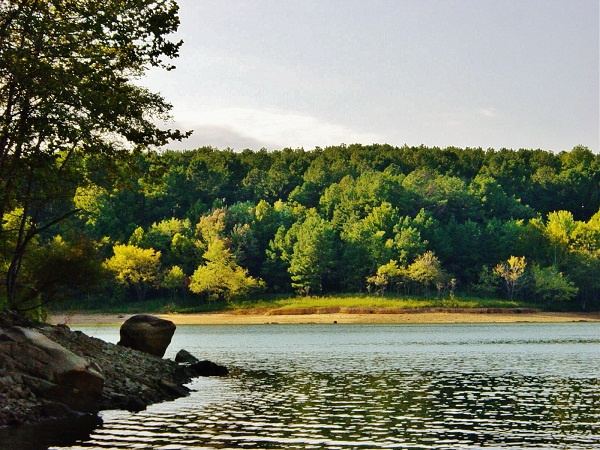
Rough River Lake is a 5,100-acre (21 km2) reservoir in Breckinridge, Grayson, and Hardin counties in Kentucky.
Contents
Map of Rough River Lake, Kentucky, USA
It was impounded from the Rough River in 1959 by the United States Army Corps of Engineers. Rough River Lake Dam is a 132-foot-high earthen dam impounding a maximum capacity of 334,400 acre-feet. It is the primary attraction of Rough River Dam State Resort Park.
References
Rough River Lake Wikipedia(Text) CC BY-SA