
Island group British Isles | ||
 | ||
Similar Hestan Island, Mote of Mark, Threave Castle, Threave Gardens, Criffel | ||
The isle of Rough is a 20-acre (8 ha) tidal island located in the Rough Firth off the Solway Firth, Scotland, in the same region where the River Urr flows into the Solway. The isle of Rough is 79 feet (24 metres) at its highest point.
Contents
- Map of Rough Island United Kingdom
- National Trust for Scotland OwnershipEdit
- AccessibilityEdit
- References
Map of Rough Island, United Kingdom
National Trust for Scotland OwnershipEdit
Since 1937 the isle of Rough has been in the ownership of the National Trust for Scotland. The island is now a bird sanctuary.
AccessibilityEdit
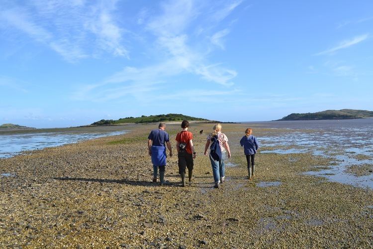
Accessible across the causeway from Kippford when the tides allow or across the mudflats from Rockcliffe, the isle of Rough can be walked to from the Scottish mainland. As the island is a bird sanctuary visitors should avoid travelling to the island during the months of May and June to avoid disturbing the nesting oystercatchers and ringed plovers. The islands' causeway is flooded and underwater for 5 (five) hours during high tide and visitors to the island need to take this into account when travelling there.