Width 1.6 km (0.99 mi) Highest elevation 225 m (738 ft) Elevation 225 m | Length 3.7 km (2.3 mi) Coastline 10 km (6 mi) Highest point Rottøyhaugen Area 4 km² | |
 | ||
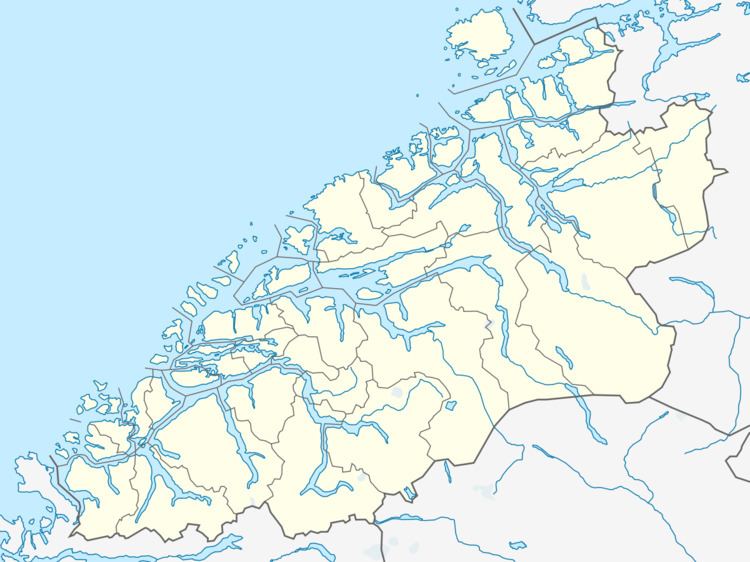
Rottøya is an island in the municipality of Aure in Møre og Romsdal county, Norway. The island lies between the mainland and Ertvågsøya, and the island of Ruøya lies to the north. The Mjosund Bridge connects the island to Ertvågsøya and the Smalsund Bridge connects it to Ruøya to the north.
Map of Rott%C3%B8ya, 6690 Aure, Norway
References
Rottøya Wikipedia(Text) CC BY-SA
