
Population 1 | Area 82 ha (200 acres) | |
 | ||
Similar Pakatoa Island, Motuihe Island, Ponui Island, Motutapu Island, Rangitoto Island | ||
Hiking around rotoroa island auckland new zealand
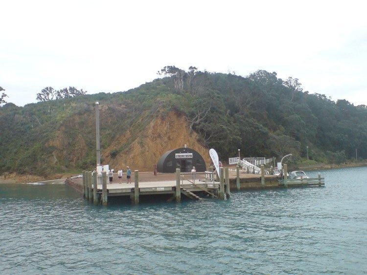
Rotoroa Island is an island to the east of Waiheke Island in the Hauraki Gulf of New Zealand. It covers 82 hectares (200 acres). The Salvation Army purchased it for £400 in 1908 from the Ruthe family to expand their alcohol and drug rehabilitation facility at nearby Pakatoa Island. Men were treated at Home Bay at Rotoroa, while women were treated at Pakatoa. This treatment facility was closed in 2005.
Contents
- Hiking around rotoroa island auckland new zealand
- Map of Rotoroa Island Auckland New Zealand
- Zoo tales takah pair make rotoroa island home
- References
Map of Rotoroa Island, Auckland, New Zealand
The island was leased from the Salvation Army in February 2008 by Neal and Annette Plowman, who formed a trust to create a conservation park on the island. They have begun a revegetation project which will eventually include 400,000 native plants. The chapel, schoolhouse and jail are being restored and a visitor centre will be built. They gave the island to Auckland in February 2010 and it was opened on 26 February 2011. The Plowmans also funded the nationwide Next Foundation.
The island is accessible through various ferry and air service companies.