
Elevation 3,337 m Prominence 497 m Mountain range Alps, Ötztal Alps | Parent range Ötztal Alps First ascent 14 July 1872 Province South Tyrol | |
 | ||
Easiest route East ridge (UIAA-I) from the Lodner Hütte Similar Lodner, Texelspitze, Tschigat, Hohe Weisse, Hochwilde | ||
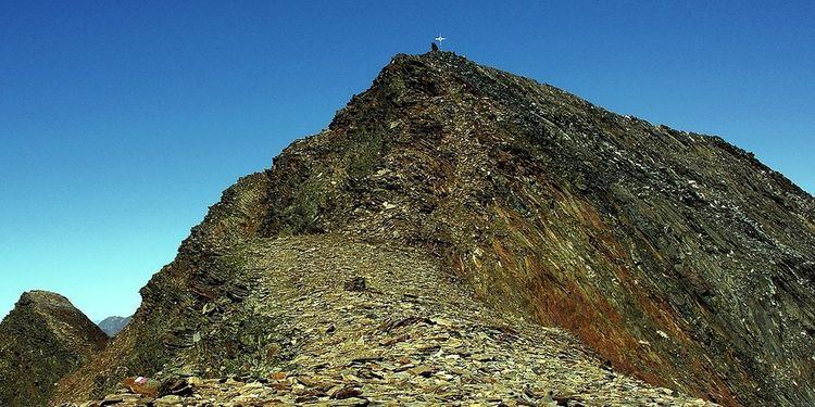
The Roteck (Italian: Monte Rosso) is the highest peak in the Texel group of the Ötztal Alps.
Contents
- Map of Roteck 39020 Partschins Province of Bolzano South Tyrol Italy
- Roteck bergtour in der texelgruppe
- References
Map of Roteck, 39020 Partschins, Province of Bolzano - South Tyrol, Italy
Roteck bergtour in der texelgruppe
References
Roteck Wikipedia(Text) CC BY-SA