
Quadrant SW Established 1954 Area 110 ha Local time Wednesday 7:50 PM | Ward 8 Elevation 1,140 m (3,740 ft) Population 3,200 (2006) | |
 | ||
Weather 9°C, Wind W at 10 km/h, 37% Humidity | ||
Rosscarrock is a residential neighbourhood in the south-west quadrant of Calgary, Alberta. It is bounded to the north by Bow Trail to the east by 33 Street W, to the south by 17 Avenue S and to the west by 45 Street W. The Westbrook Mall is located in the north-east corner of the neighbourhood, and it is bordered by the Shaganappi golf course.
Contents
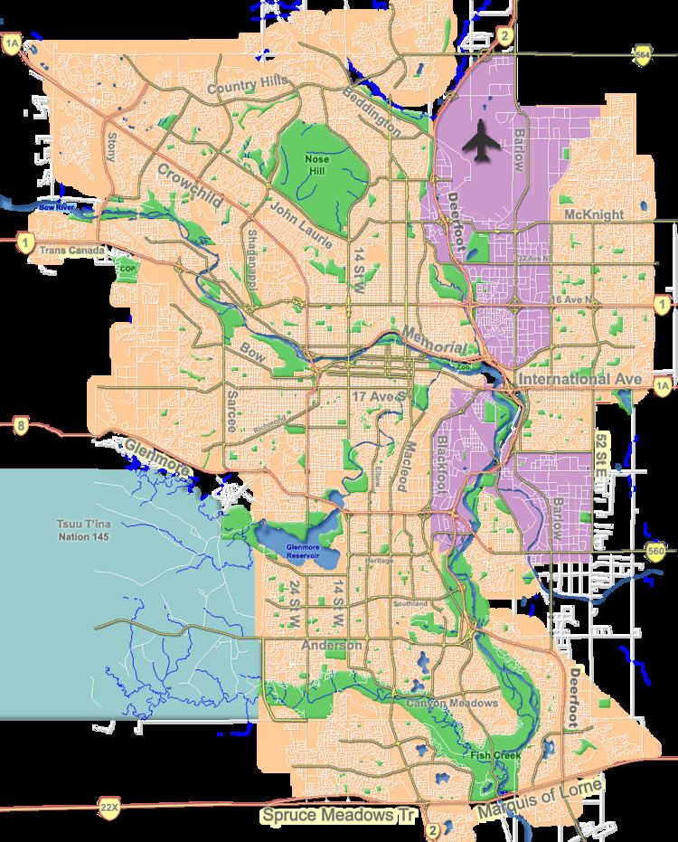
Map of Rosscarrock, Calgary, AB, Canada
Rosscarrock was established in 1954. It is represented in the Calgary City Council by the Ward 8 councillor.
Demographics
In the City of Calgary's 2012 municipal census, Rosscarrock had a population of 7003335600000000000♠3,356 living in 7003164500000000000♠1,645 dwellings, a 5.7% increase from its 2011 population of 7003317500000000000♠3,175. With a land area of 1.1 km2 (0.42 sq mi), it had a population density of 3,050/km2 (7,900/sq mi) in 2012.
Residents in this community had a median household income of $40,733 in 2000, and there were 27.6% low income residents living in the neighbourhood. As of 2000, 22.3% of the residents were immigrants. A proportion of 53.3% of the buildings were condominiums or apartments, and 65.8% of the housing was used for renting.
Education
The community is served by Ernest Manning High and Rosscarrock Elementary public schools, as well as by St. Michael Elementary & Junior High (Catholic, Late French Immersion, International Baccalaureate).