
Country United States ZIP codes 50441, 50475 Elevation 331 m Population 303 (2010) | Time zone CST (UTC-6) GNIS feature ID 0468643 Area 81.16 km² Local time Wednesday 8:27 PM | |
 | ||
Weather 3°C, Wind SE at 21 km/h, 46% Humidity | ||
Ross Township is one of sixteen townships in Franklin County, Iowa, United States. As of the 2010 census, its population was 303 and it contained 131 housing units.
Contents
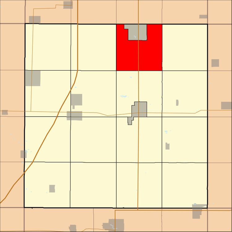
- Map of Ross IA USA
- History
- Geography
- Cities towns villages
- Cemeteries
- Transportation
- School districts
- Political districts
- References
Map of Ross, IA, USA
History
Ross Township was organized in 1879. It was named for Abner S. Ross, an early settler.
Geography
As of the 2010 census, Ross Township covered an area of 31.34 square miles (81.2 km2), all land.
Cities, towns, villages
Cemeteries
The township contains Saint John Zion Cemetery and Way Side Cemetery.
Transportation
School districts
Political districts
References
Ross Township, Franklin County, Iowa Wikipedia(Text) CC BY-SA