
Frazioni Angeli Demonym(s) Rosorani Area 9.4 km² Postal code 60030 | Elevation 381 m (1,250 ft) Time zone CET (UTC+1) Local time Thursday 1:41 AM Dialling code 0731 | |
 | ||
Weather 12°C, Wind S at 8 km/h, 71% Humidity | ||
Rosora is a comune (municipality) in the Province of Ancona in the Italian region Marche, located about 40 kilometres (25 mi) southwest of Ancona.
Contents
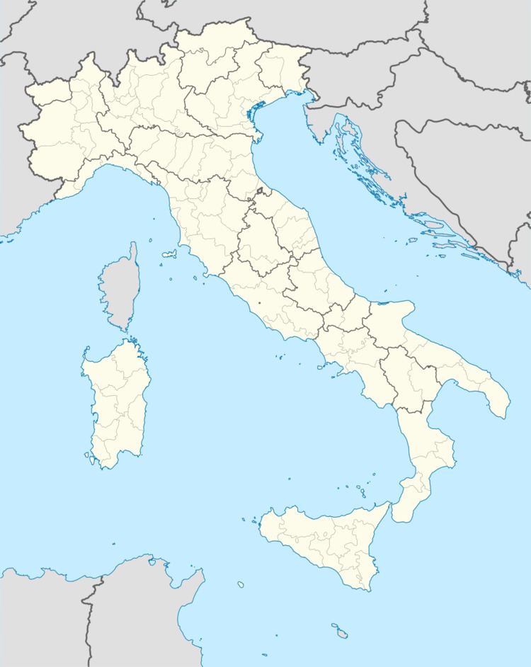
Map of 60030 Rosora Province of Ancona, Italy
Rosora borders the following municipalities: Arcevia, Castelplanio, Cupramontana, Maiolati Spontini, Mergo, Montecarotto, Poggio San Marcello.
History
The origins of Rosora are connected to the Lombards, who built a castrum (castle), probably over a pre-existing Roman structure. In the Middle Ages it was a commune, later annexed to that of Jesi. It was under the Papal States until 1860, when it became part of the Kingdom of Italy.
Main sights
References
Rosora Wikipedia(Text) CC BY-SA