
Population 2,835 (2011) | Local time Thursday 1:19 AM | |
 | ||
Weather 27°C, Wind E at 14 km/h, 46% Humidity | ||
Driving in namibia sendelingsdrif to rosh pinah
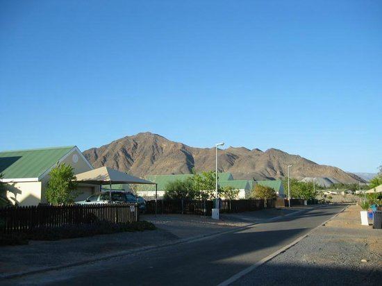
Rosh Pinah is a mining town located in southern Namibia, close to the border with South Africa. It is situated 360 kilometres (220 mi) south of Keetmanshoop in Namibia's ǁKaras Region. West of the town lies Diamond Area 1, the main diamond mining area of Namibia. Rosh Pinah belongs to the Oranjemund electoral constituency. The town is connected via road to Aus.
Contents
- Driving in namibia sendelingsdrif to rosh pinah
- Map of Rosh Pinah Namibia
- Acapella choir from rosh pinah
- References
Map of Rosh Pinah, Namibia
Minerals mined at Rosh Pinah mine include copper, zinc, tin, lead, and silver. Like other mining towns in Namibia, the settlement was created when the mine was opened. It is governed by the mine operators RoshSkor because it does not fall under any regional government authority. Hoeksteen Combined School and Tsau ǁKhaeb Secondary School are government schools located in town.
Acapella choir from rosh pinah
References
Rosh Pinah Wikipedia(Text) CC BY-SA