
Ward 7 Local time Wednesday 3:54 PM | Quadrant NW Established 1958 Population 1,247 (2006) | |
 | ||
Weather 14°C, Wind NW at 21 km/h, 29% Humidity Restaurants The Bullet Coffee House, Little Caesars Pizza, Subway, Yume Sushi | ||
Rosemont is a residential neighbourhood in the north-west quadrant of Calgary, Alberta. It is bounded by Northmount Drive to the north, by Cambrian Drive to the east, by 23 Avenue N and the Confederation Park to the south and by 14 Street W to the west.
Contents
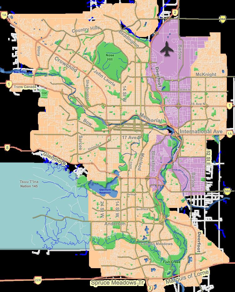
Map of Rosemont, Calgary, AB, Canada
The lands were annexed to the City of Calgary in 1910, and the neighbourhood was established in 1958. It is represented in the Calgary City Council by the Ward 7 councillor.
Demographics
In the City of Calgary's 2012 municipal census, Rosemont had a population of 7003124100000000000♠1,241 living in 7002563000000000000♠563 dwellings, a 2.7% increase from its 2011 population of 7003120800000000000♠1,208. With a land area of 0.5 km2 (0.19 sq mi), it had a population density of 2,480/km2 (6,400/sq mi) in 2012.
Residents in this community had a median household income of $53,027 in 2000, and there were 11.3% low income residents living in the neighbourhood. As of 2000, 13.4% of the residents were immigrants. A proportion of 18.6% of the buildings were condominiums or apartments, and 29.9% of the housing was used for renting.
Education
The community is served by the Rosemont Elementary public school.