 | ||
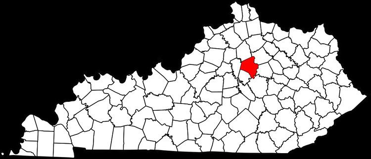
Rosemill is a neighborhood in southwestern Lexington, Kentucky, United States. Its boundaries are Southland Drive and Rosemont Garden to the north, Clays Mill Road to the west, and Hill-N-Dale Road to the south. Lexington Catholic High School has been located in the center of the neighborhood since 1957.
Map of Rosemill, Lexington, KY 40503, USA
References
Rosemill, Lexington Wikipedia(Text) CC BY-SA
