
Country United States Time zone CST (UTC-6) Elevation 184 m Local time Wednesday 4:03 PM | Established November 5, 1878 ZIP codes 62031, 62037 Area 83.19 km² Population 456 (2010) | |
 | ||
Weather 10°C, Wind NE at 13 km/h, 27% Humidity | ||
Rosedale Township is one of eleven townships in Jersey County, Illinois, United States. As of the 2010 census, its population was 456 and it contained 295 housing units.
Contents
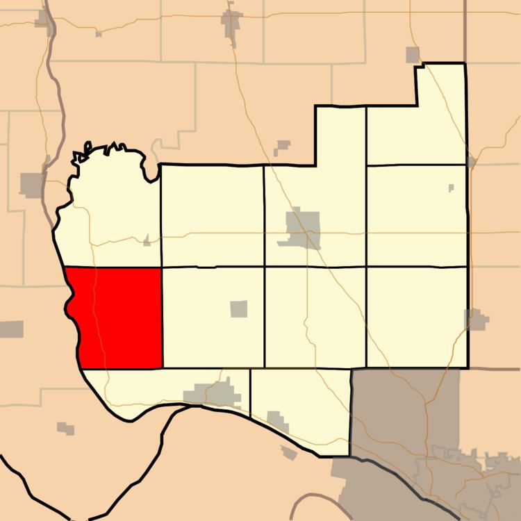
- Map of Rosedale Township IL USA
- History
- Geography
- Unincorporated towns
- Adjacent townships
- Cemeteries
- Major highways
- Rivers
- Lakes
- Landmarks
- School districts
- Political districts
- References
Map of Rosedale Township, IL, USA
History
The name of Rosedale Township was changed from Illinois Township on June 7, 1882.
Geography
According to the 2010 census, the township has a total area of 32.12 square miles (83.2 km2), of which 30.25 square miles (78.3 km2) (or 94.18%) is land and 1.87 square miles (4.8 km2) (or 5.82%) is water.
Unincorporated towns
Adjacent townships
Cemeteries
The township contains two active cemeteries, Meadow Branch and Rosedale, as well as several that are inactive.
Major highways
Rivers
Lakes
Landmarks
School districts
Political districts
References
Rosedale Township, Jersey County, Illinois Wikipedia(Text) CC BY-SA