
Quadrant NW Established 1929 Elevation 1,082 m Local time Wednesday 3:04 PM | Ward 7 Annexed 1907 Area 50 ha Population 1,650 (2006) Mayor Naheed Nenshi | |
 | ||
Weather 13°C, Wind N at 11 km/h, 34% Humidity | ||
Rosedale is a residential neighbourhood in the north-west quadrant of Calgary, Alberta. It is located south of the Trans-Canada Highway, between 4th and 10th Street NW. To the south it is bounded by McHugh Bluff Park and the community of Sunnyside.
Contents
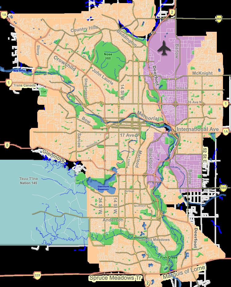
Map of Rosedale, Calgary, AB, Canada
It is represented in the Calgary City Council by the Ward 7 councillor.
Demographics
In the City of Calgary's 2012 municipal census, Rosedale had a population of 7003156900000000000♠1,569 living in 7002636000000000000♠636 dwellings, a -1.4% increase from its 2011 population of 7003159200000000000♠1,592. With a land area of 0.7 km2 (0.27 sq mi), it had a population density of 2,240/km2 (5,800/sq mi) in 2012.
Residents in this community had a median household income of $78,067 in 2000, and there were 8% low income residents living in the neighbourhood. As of 2000, 14.7% of the residents were immigrants. A proportion of 14.4% of the buildings were condominiums or apartments, and 23.2% of the housing was used for renting.
Education
The Rosedale Elementary & Junior High public school is located in this community.