
Country United States FIPS code 27-55510 Elevation 355 m Zip code 56371 Local time Wednesday 2:00 PM | Time zone Central (CST) (UTC-6) GNIS feature ID 0650255 Area 166 ha Population 102 (2013) Area code 320 | |
 | ||
Weather 0°C, Wind SE at 19 km/h, 42% Humidity | ||
Roscoe is a city in Stearns County, Minnesota, United States. The population was 102 at the 2010 census. It is part of the St. Cloud Metropolitan Statistical Area. On December 7, 2016, Donald Kennith Albrecht was sworn in as mayor of Roscoe.
Contents
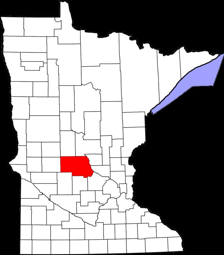
Map of Roscoe, MN, USA
History
Roscoe was originally called Zion. A post office called Zions was established in 1865, and in 1914 the name was changed to Roscoe. The post office closed in 1995.
Geography
According to the United States Census Bureau, the city has a total area of 0.64 square miles (1.66 km2), all of it land.
Minnesota State Highway 23 serves as a main route in the community.
2010 census
As of the census of 2010, there were 102 people, 48 households, and 28 families residing in the city. The population density was 159.4 inhabitants per square mile (61.5/km2). There were 56 housing units at an average density of 87.5 per square mile (33.8/km2). The racial makeup of the city was 100.0% White.
There were 48 households of which 14.6% had children under the age of 18 living with them, 47.9% were married couples living together, 8.3% had a female householder with no husband present, 2.1% had a male householder with no wife present, and 41.7% were non-families. 35.4% of all households were made up of individuals and 16.7% had someone living alone who was 65 years of age or older. The average household size was 2.13 and the average family size was 2.75.
The median age in the city was 47.3 years. 17.6% of residents were under the age of 18; 5% were between the ages of 18 and 24; 21.5% were from 25 to 44; 39.2% were from 45 to 64; and 16.7% were 65 years of age or older. The gender makeup of the city was 53.9% male and 46.1% female.
2000 census
As of the census of 2000, there were 116 people, 41 households, and 27 families residing in the city. The population density was 180.7 people per square mile (70.0/km²). There were 41 housing units at an average density of 63.9 per square mile (24.7/km²). The racial makeup of the city was 98.28% White, and 1.72% from two or more races.
There were 41 households out of which 46.3% had children under the age of 18 living with them, 51.2% were married couples living together, 9.8% had a female householder with no husband present, and 34.1% were non-families. 31.7% of all households were made up of individuals and 17.1% had someone living alone who was 65 years of age or older. The average household size was 2.83 and the average family size was 3.63.
In the city, the population was spread out with 30.2% under the age of 18, 12.1% from 18 to 24, 19.0% from 25 to 44, 26.7% from 45 to 64, and 12.1% who were 65 years of age or older. The median age was 36 years. For every 100 females there were 107.1 males. For every 100 females age 18 and over, there were 118.9 males.
The median income for a household in the city was $45,714, and the median income for a family was $47,917. Males had a median income of $27,500 versus $20,000 for females. The per capita income for the city was $13,931. There were 3.2% of families and 6.8% of the population living below the poverty line, including no under eighteens and 37.5% of those over 64.