
Time zone CST (UTC-6) Elevation 210 m Population 421 (2010) | Established November 7, 1865 ZIP codes 62083, 62555, 62557 Area 93.32 km² Local time Wednesday 1:16 PM | |
 | ||
Weather 6°C, Wind E at 19 km/h, 33% Humidity | ||
Rosamond Township is one of seventeen townships in Christian County, Illinois, USA. As of the 2010 census, its population was 421 and it contained 162 housing units.
Contents
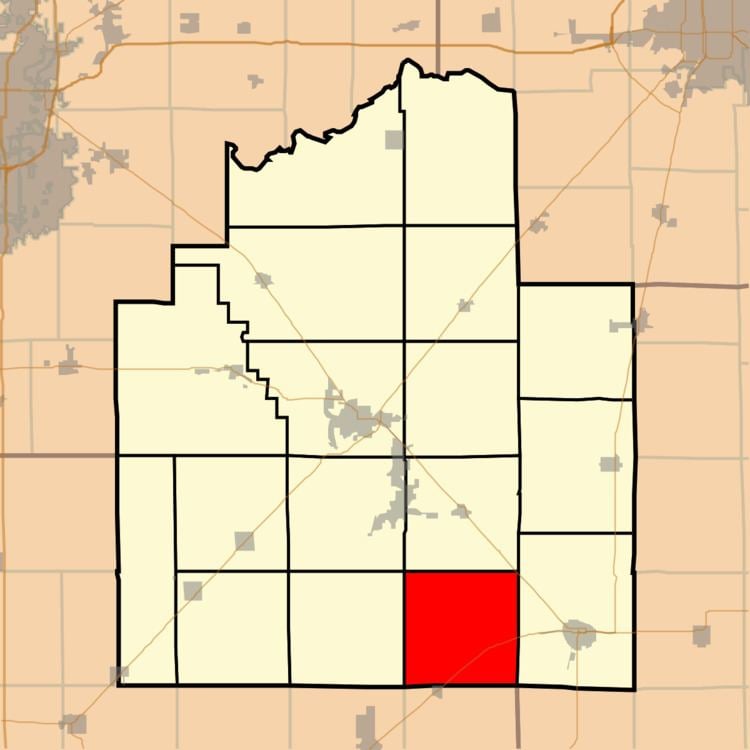
- Map of Rosamond Township IL USA
- Geography
- Unincorporated towns
- Cemeteries
- Major highways
- School districts
- Political districts
- References
Map of Rosamond Township, IL, USA
Geography
According to the 2010 census, the township has a total area of 36.03 square miles (93.3 km2), all land.
Unincorporated towns
Cemeteries
The township contains these three cemeteries: Ohlman, Potters Field and Rosamond Grove.
Major highways
School districts
Political districts
References
Rosamond Township, Christian County, Illinois Wikipedia(Text) CC BY-SA