
County Butler FIPS code 20-61100 Elevation 463 m Zip code 67132 Local time Wednesday 1:01 PM | Time zone CST (UTC-6) GNIS feature ID 0474623 Area 3.3 km² Population 171 (2010) Area code 620 | |
 | ||
Weather 12°C, Wind SE at 16 km/h, 37% Humidity | ||
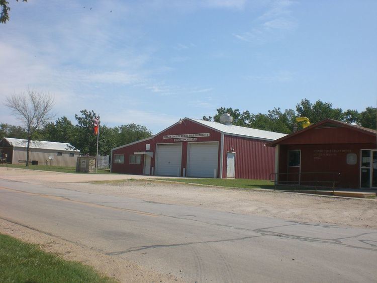
Rosalia is an unincorporated community and CDP in Butler County, Kansas, United States. As of the 2010 census it had a population of 171.
Contents
Map of Rosalia, KS 67132, USA
History
Rosalia was platted in 1883. The town was named by its first postmaster for his wife.
In June 2014, Symphony In The Flint Hills was held a few miles northeast of Rosalia with over 7000 in attendance.
Geography
Rosalia is located at 37°48′55″N 96°37′11″W (37.8152985, -96.6197416), in the scenic Flint Hills, roughly 13 miles (21 km) east of El Dorado.
Climate
The climate in this area is characterized by hot, humid summers and generally mild to cool winters. According to the Köppen Climate Classification system, Rosalia has a humid subtropical climate, abbreviated "Cfa" on climate maps.
Government
Rosalia has a post office with ZIP code 67132. The post office was established in 1870.
Education
Rosalia is served by USD 482 Dighton Public Schools.
Rosalia High School was closed through school unification. The Rosalia High School mascot was Cardinals.