
Country Brazil Microregion Campanha Central Area 4,466 km² | Time zone BRT/BRST (UTC-3/-2) | |
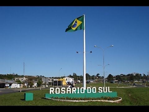 | ||
Rosário do Sul is a Brazilian municipality in the southwestern part of the state of Rio Grande do Sul. The population is 40,773 (2015 est.) in an area of 4,369.65 km². Its elevation is 151 m. It is located 385 km west of the state capital of Porto Alegre. Its main industry is agriculture. Many Argentine and Uruguayan tourists visits during the spring, with a large infrastructure to accommodate the visitors.
Contents
- Map of RosC3A1rio do Sul RS Brazil
- Bounding municipalities
- The origin of the name of the city
- History
- Geography
- Climate
- Education and culture
- References
Map of Ros%C3%A1rio do Sul, RS, Brazil
Bounding municipalities
The origin of the name of the city
The first inhabitants came from the Mainland of Rio Grande de São Pedro and settled the area. It was founded in 1813 and received the name "Rosário". In 1939, it became a city. In the 1940s, there was a movement in changing the city name in order to avoid confusions with Rosario in Argentina located west of the city. A part of the population favour the name Minuano, others prefer a traditional name lengthened with "do Sul" for the geographical location of the city in Brazil. It was renamed to Rosário do Sul in 1944.
History
Geography
Rosário do Sul is situated on the Santa Maria River. The Areias Brancas is a popular river beach on the river. The river is crossed by the 1,772 m long Marechal José de Abreu bridge, the third largest in the state. Wheat is the dominant field crop.
Districts:
1st – Seat: 889 km22nd – Mangueira: 490 km23rd – Caverá: 646 km24th – São Carlos: 620 km25th – Campo Seco: 1297 km26th – Touro Passo: 524 km2Climate
Subtropical
Rosário do Sul has one of the coolest climates in Brazil.
Education and culture
Rosário do Sul has many schools, the main ones are Escola de Ensino Médio Fronteira, Escola Padre Ângelo Bartelle and Escola de Ensino Médio Plácido de Castro.
The Desfile Tradicional is a very large horse parade that celebrates the Declaration of Independence in 1835 that started the Ragamuffin War on September 20 each year. Hundreds of Gauchos in traditional gaúcho attire parade on horseback past the central square of the city.