
Vehicle registration IM Elevation 724 m Local time Wednesday 5:20 PM Postal code 6426 | Time zone CET (UTC+1) Website www.roppen.tirol.gv.at Area 30.86 km² Population 1,648 (1 Apr 2009) Area code 05417 | |
 | ||
Weather 9°C, Wind N at 6 km/h, 87% Humidity | ||
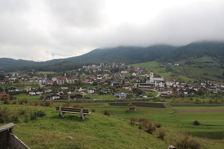
Roppen is a municipality in the Imst district and is located 5 km southeast of Imst between the mouths of the Pitze River and the Ötztaler Ache. The village was mentioned in documents in 1260 for the first time as "Roupen" but settlement already began 3000 years ago.
Map of 6426 Roppen, Austria
References
Roppen Wikipedia(Text) CC BY-SA