
Country United States Time zone CST (UTC-6) Elevation 198 m Local time Wednesday 8:04 AM | Established November 4, 1884 ZIP codes 62082, 62092 Area 102.8 km² Population 2,241 (2010) | |
 | ||
Weather -1°C, Wind E at 18 km/h, 79% Humidity | ||
Roodhouse Township is one of thirteen townships in Greene County, Illinois, USA. As of the 2010 census, its population was 2,241 and it contained 1,109 housing units.
Contents
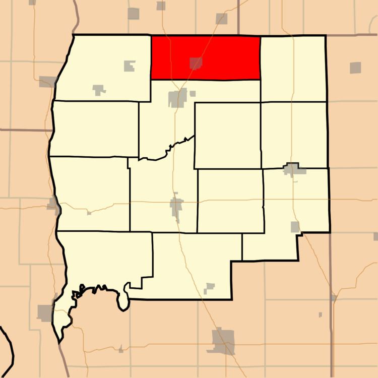
- Map of Roodhouse Township IL USA
- Geography
- Cities towns villages
- Unincorporated towns
- Cemeteries
- Major highways
- Landmarks
- School districts
- Political districts
- References
Map of Roodhouse Township, IL, USA
Geography
According to the 2010 census, the township has a total area of 39.68 square miles (102.8 km2), of which 39.64 square miles (102.7 km2) (or 99.90%) is land and 0.04 square miles (0.10 km2) (or 0.10%) is water.
Cities, towns, villages
Unincorporated towns
(This list is based on USGS data and may include former settlements.)
Cemeteries
The township contains these six cemeteries: Ferwood, Martins Prairie, Thompson, Tunnison, Williams-Edwards and Williams-Edwards.
Major highways
Landmarks
School districts
Political districts
References
Roodhouse Township, Greene County, Illinois Wikipedia(Text) CC BY-SA