
Area 1,392 km² | Time zone China Standard (UTC+8) Local time Wednesday 8:17 PM Area code 0631 | |
 | ||
Country People's Republic of China Weather 6°C, Wind S at 5 km/h, 53% Humidity Points of interest Shidao Chishan, Xixiakou Wild Animal Pr, Shendiaoshan Wild Animal N, Chengshantou Scenic Area (W, Colourful Stone Tourist Zo | ||
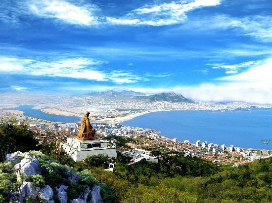
Rongcheng (simplified Chinese: 荣成; traditional Chinese: 榮成; pinyin: Róngchéng) is a county-level city of Weihai City, at the eastern extremity of Shandong Province, China, looking out to the Yellow Sea in all directions but the west.
Contents
Map of Rongcheng, Weihai, Shandong, China
History
According to historical records, the First Emperor of the Qin dynasty had visited Rongcheng twice, building bridges and temples. In 1735, during the Qing dynasty, the Yongzheng Emperor gave Rongcheng its present name.
Administration
There are 10 subdistricts and 12 towns under Rongcheng's administration.
Subdistricts:
Towns:
Transport
References
Rongcheng, Shandong Wikipedia(Text) CC BY-SA