
Canton Forges-les-Eaux Local time Wednesday 12:36 PM | Region Normandy Area 14.37 km² | |
 | ||
Weather 8°C, Wind S at 29 km/h, 71% Humidity | ||
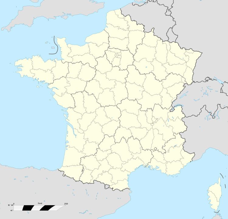
Roncherolles-en-Bray is a commune in the Seine-Maritime department in the Haute-Normandie region in northern France.
Contents
Map of 76440 Roncherolles-en-Bray, France
Geography
A forestry and farming village situated in the Pays de Bray at the junction of the D961, the D1, the D102 and the D24 roads, some 20 miles (32 km) northeast of Rouen. Cristal-Fontaine mineral water is bottled here.
Places of interest
References
Roncherolles-en-Bray Wikipedia(Text) CC BY-SA