
Population (2006 Census) Postcode district IM9 Parish Arbory | OS grid reference SC245727 Dialling code 01624 | |
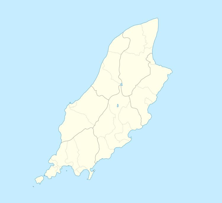 | ||
Ronague (Manx: Eairy Shynnagh or Ronnag) is a tiny hamlet in the south of the Isle of Man, in the parish of Arbory. In consists of an old chapel, several houses and some farms. It lies to the north of the villages of Ballabeg and Colby, west of the hamlet of Grenaby and south of the hill South Barrule.
Map of Ronague, Isle of Man
On the A27 road between Ronague and the Round Table is the seemingly magical magnetic hill. A gravity hill, it appears to pull cars uphill when their drive is not engaged (grid reference SC2431773571).
References
Ronague Wikipedia(Text) CC BY-SA