Country Ukraine City rights 1781 Area 65 km² Local time Wednesday 11:22 AM | Oblast Sumy Elevation 171 m (561 ft) Population 42,856 (1 Oct 2012) | |
 | ||
Weather 11°C, Wind S at 13 km/h, 62% Humidity | ||
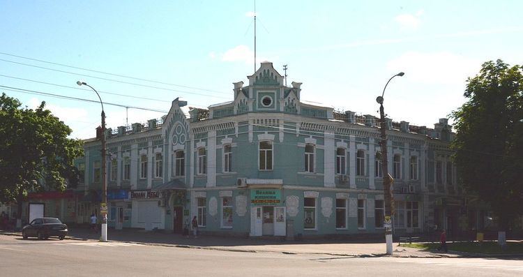
Romny (Ukrainian: Ромни́; Russian: Ромны́) is a city in the northern Ukrainian Oblast of Sumy. It is located on the Romen River and is the administrative center of the Romny Raion. The villages of Lutschky (438 inhabitants), Kolisnykove (43 inhabitants) and Hrabyne belong to the Romny city administration.
Contents
Map of Romny, Sumska, Ukraine
History
The city was founded in 902 AD. On September 16, 2002 the city celebrated its 1,100th anniversary. Romny was first mentioned in documents in 1096 (as Romen; the name, originally that of the river, is of Baltic origin, cf. Lithuanian romus 'quiet'). By 1638, the city had a population of 6,000 inhabitants, which made it by far the largest settlement in the area. In 1781, the city was granted a charter by the Tsarina Catherine II. In the period between 1979 and 1989, the population rose from 53,016 to 57,502 inhabitants. During World War II, Romny was occupied by the German Army from September 10, 1941 to September 16, 1943.
Sights
The cathedral of the Holy Spirit, founded in 1735 in place of a wooden church, is a four-pillared cathedral designed in the Ukrainian Baroque style and is surmounted by three pear-shaped domes, each placed on a tall cylinder. Although the cathedral dates back to the 1740s, the building of the nearby belfry and winter church was not undertaken until 1780.
Another noteworthy building is the church of the Ascension, which also has three domes, but was constructed later, in 1795-1801, and adjoins a Baroque belfry built in 1753-63.
