
Width 10.5 km (6.52 mi) Highest elevation 1,022 m (3,353 ft) Area 106.4 km² | Length 17 km (10.6 mi) Coastline 47 km (29.2 mi) Highest point Drangen Municipality Ibestad | |
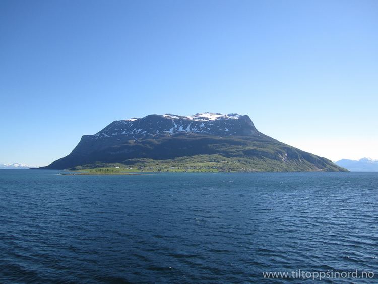 | ||
Rolla (Northern Sami: Rálli) is an island in the municipality of Ibestad in Troms county, Norway. The island of Andørja lies to the northeast, the Vågsfjorden lies to the north and west, and the Astafjorden lies to the south. The highest point on the 106-square-kilometre (41 sq mi) island of Rolla is Drangen at a height of 1,022 metres (3,353 ft). The population on Rolla (2001) is 1,078.
Map of Rolla, 9450 Hamnvik, Norway
Rolla is connected to the neighboring island of Andørja by the undersea Ibestad Tunnel located in Hamnvik. Andørja is then connected to the mainland via the Mjøsund Bridge. There is a ferry connection from Sørrollnes on the western coast to the town of Harstad.
There are two main churches on the island: Ibestad Church in Hamnvik and Sørrollnes Chapel in Sørrollnes.