
Country United States ZIP codes 85347 Elevation 80 m Local time Tuesday 10:29 AM | Time zone Mountain (MST) (UTC-7) GNIS feature ID 10481 Population 1,235 (2000) | |
 | ||
Weather 25°C, Wind SW at 3 km/h, 31% Humidity | ||
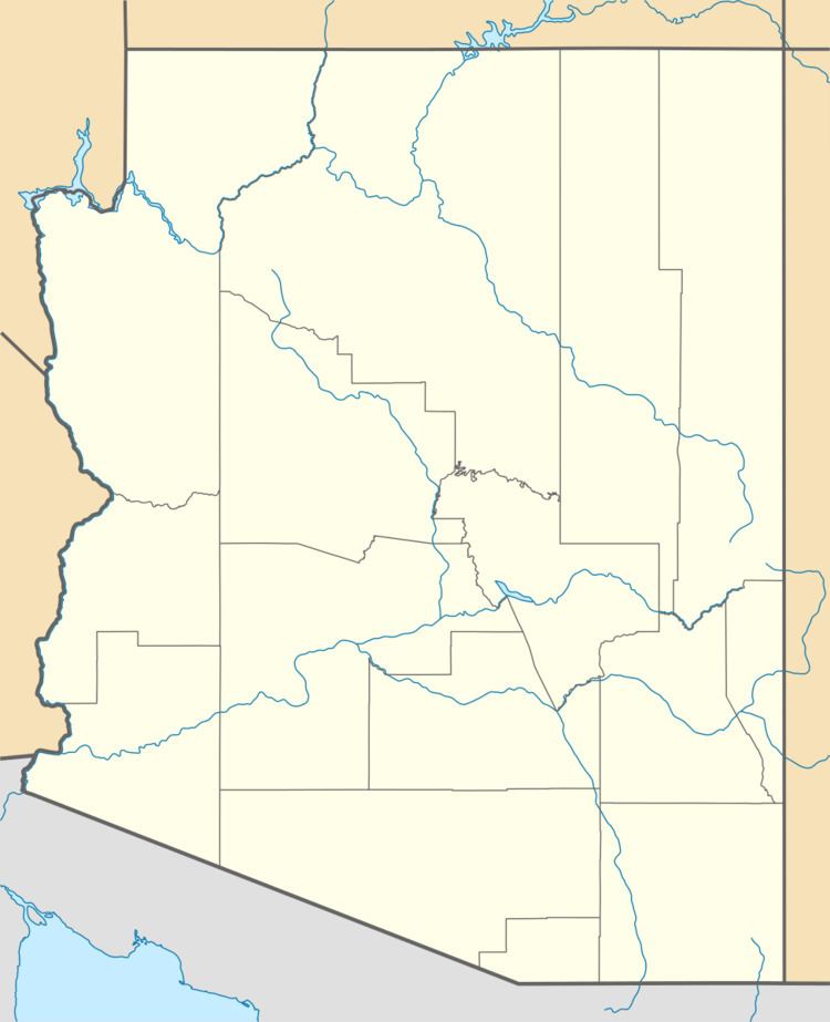
Roll is an populated place in central Yuma County, Arizona, United States. It is part of the Yuma Metropolitan Statistical Area. Named for early settler John H. Roll, it lies along the lower Gila River, between the Yuma Proving Ground and the Barry M. Goldwater Air Force Range. Local roads connect Roll to Interstate 8, east of the city of Yuma, the county seat of Yuma County. Its elevation is 262 feet (80 m). Although Roll is unincorporated, it has a post office. Roll has the ZIP Code of 85347; in the 2000 census, the population of the 85347 ZCTA was 1,235.
Map of Roll, AZ 85347, USA
Roll is served by the Mohawk Valley Elementary School District.
References
Roll, Arizona Wikipedia(Text) CC BY-SA