
Elevation 476 m Population 75 (2006) | Postal code 594 51 Area 4.27 km² | |
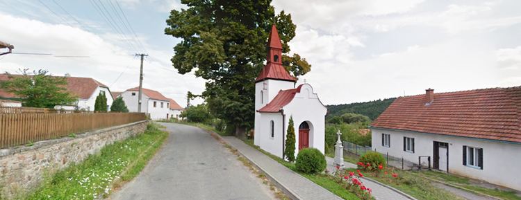 | ||
Rojetín is a village and municipality (obec) in Brno-Country District in the South Moravian Region of the Czech Republic.
Contents
Map of 594 51 Rojet%C3%ADn, Czechia
The municipality covers an area of 4.27 square kilometres (1.65 sq mi), and has a population of 75 (as at 3 July 2006).
Rojetín lies approximately 33 kilometres (21 mi) north-west of Brno and 154 km (96 mi) south-east of Prague.
Rojet n leti t 31 1 2015
References
Rojetín Wikipedia(Text) CC BY-SA