
Time zone CET/CEST (UTC+1/+2) Area 13.96 km² Local time Tuesday 3:19 PM Dialling code 036844 | Elevation 340 m (1,120 ft) Postal codes 98530 Population 992 (31 Dec 2008) Postal code 98530 Municipal assoc. Dolmar-Salzbrücke | |
 | ||
Weather 8°C, Wind SW at 13 km/h, 87% Humidity | ||
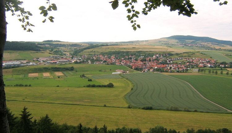
Rohr is a municipality in the Schmalkalden-Meiningen district in Thuringia.
Contents
Map of Rohr, Germany
History
Rohr was first mentioned in 815. A Benedictine monastery was established in the 9th century and a Carolingian church, St. Michaels, was built. The monastery lasted for about 100 years but the church survives today. In 1206 a Benedictine convent was established outside of town. The convent was closely associated with the House of Henneberg and to a lesser degree with the Bibra family especially in the 14th century. Kloster Rohr was abandoned after reformation and is now a technical school. The shell of the former church was renovated into a modern building in the 2000s.
References
Rohr, Thuringia Wikipedia(Text) CC BY-SA