
Airport type Public Elevation AMSL 392 ft / 119 m 4,005 1,221 Elevation 119 m | 11/29 4,005 Phone +1 707-839-5401 | |
 | ||
Address 2330 Airport Rd, Fortuna, CA 95540, USA Similar Murray Field‑Eka, Arcata‑Eu Airport (ACV), Samoa Field Airport, Kneeland Airport, Riverwalk RV Park | ||
Rohnerville airport fot landing rwy 29
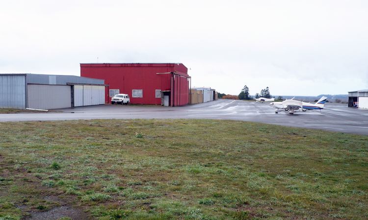
Rohnerville Airport (ICAO: KFOT, FAA LID: FOT) is a public airport located 3 miles (4.8 km) southeast of Fortuna in Humboldt County, California. It is owned by the County of Humboldt.
Contents
- Rohnerville airport fot landing rwy 29
- P3d kfot rohnerville airport orbx short video overview
- Facilities and aircraft
- Nearby airports
- References
Although most U.S. airports use the same three-letter location identifier for the FAA and IATA, Rohnerville Airport is assigned FOT by the FAA but has no designation from the IATA (which assigned FOT to Forster, New South Wales, Australia).
P3d kfot rohnerville airport orbx short video overview
Facilities and aircraft
Rohnerville Airport covers an area of 541 acres (219 ha) which contains one asphalt paved runway (11/29) measuring 4,005 by 100 feet (1,221 by 30 m).
For the year ending in October 2004, the airport had 27,500 aircraft operations, an average of 75 per day, all of which were general aviation. There were 36 aircraft based at this airport: 86% single engine, 11% multi-engine and 3% helicopters.
Cal Fire has an air base with a OV-10 Bronco and a S-2T airtanker based there.