
Airport type Public Serves Rogers, Arkansas 2/20 6,011 Code ROG Phone +1 479-621-1117 | Owner City of Rogers Elevation AMSL 1,359 ft / 414 m 6,011 1,832 Elevation 414 m | |
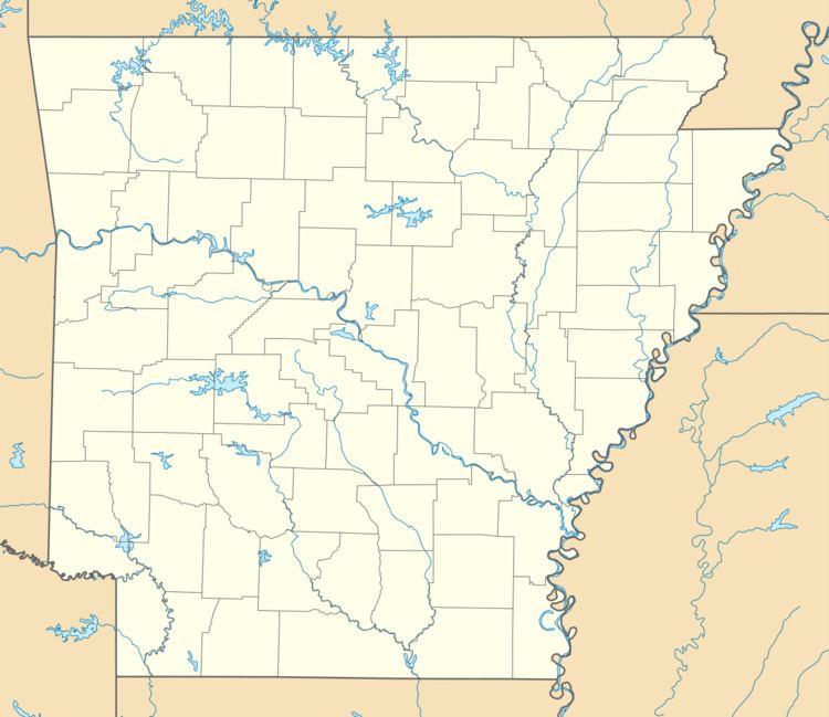 | ||
Address W Airport Dr, Rogers, AR 72756, USA | ||
Night touch and go at rogers municipal airport carter field
Rogers Municipal Airport (IATA: ROG, ICAO: KROG, FAA LID: ROG), also known as Carter Field, is a city owned public use airport located two nautical miles (3.7 km) north of the central business district of Rogers, a city in Benton County, Arkansas, United States. This airport is included in the FAA's National Plan of Integrated Airport Systems for 2015–2019, which categorized it as a general aviation facility.
Contents
Facilities and aircraft
Rogers Municipal Airport covers an area of 460 acres (190 ha) at an elevation of 1,359 feet (414 m) above mean sea level. It has one runway designated 2/20 with an asphalt surface measuring 6,011 by 100 feet (1,832 x 30 m).
For the 12-month period ending May 31, 2015, the airport had 32,000 aircraft operations, an average of 88 per day: 94% general aviation and 6% air taxi. In September 2016, there were 116 aircraft based at this airport: 78 single-engine, 12 multi-engine, 25 jet and 1 helicopter.
Beaver Lake Aviation is the airport's full service FBO. The airport also features a fully staffed Control Tower, as well as on site Index A ARFF coverage provided by Rogers Fire Department Station 3. Beaver Lake Aviation's website is http://www.beaverlakeaviation.com/