
Country United States GNIS feature ID 1473503 Local time Tuesday 8:39 AM | Time zone Eastern (EST) (UTC-5) Elevation 556 m | |
 | ||
Weather 9°C, Wind W at 6 km/h, 91% Humidity | ||
Backpacking grayson highlands mount rogers virginia day one
Rogers is an unincorporated community in Montgomery County, Virginia, south of the county seat of Christiansburg. It is part of the Blacksburg–Christiansburg–Radford Metropolitan Statistical Area, which encompasses all of Montgomery County and the city of Radford.
Contents
- Backpacking grayson highlands mount rogers virginia day one
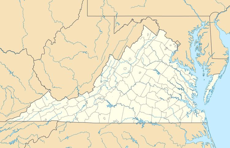
- Map of Rogers VA 24149 USA
- Mt rogers virginia s high point
- References
Map of Rogers, VA 24149, USA
Rogers is located at the intersection of Pilot Road (VA 615) and Elliot's Creek Road (VA 675). It also includes the intersection of Nolley Road and Pilot Road. Elliot's Creek Road, (VA 675) is the historic road that connected Shawsville to Riner in the lower half of Montgomery County. The historic Shawsville to Riner Road is now represented by modern-day Allegheny Springs Road, Split Rail Road, Elliot's Creek Road, Nolley Road, and Union Valley Road.
Mt rogers virginia s high point
References
Rogers, Virginia Wikipedia(Text) CC BY-SA