
Type Pond Max. length 302 yd (276 m) Average depth 30 ft (9.1 m) Mean depth 9.14 m Width 103 m | Max. width 113 yd (103 m) Surface elevation 2,243 m Length 276 m | |
 | ||
Location | ||
Hammill fly in 2016 roger lake ontario canada
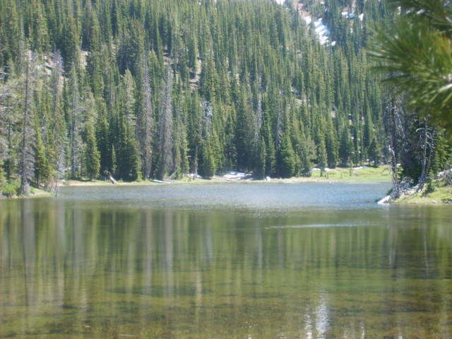
Roger Lake (also called Rogers Lake or Rogers Pond) is a mountain pond located in a meadow on Aneroid Mountain in the Eagle Cap Wilderness of Northeastern Oregon, United States. It is 0.5 miles (0.8 km) from Aneroid Lake on trail 1804. It is listed as the 29th highest lake in the Eagle Cap Wilderness
Contents
- Hammill fly in 2016 roger lake ontario canada
- Map of Rogers Lake Oregon 97846 USA
- Roger lake 2016
- TrailEdit
- References
Map of Rogers Lake, Oregon 97846, USA
Roger lake 2016
TrailEdit
Roger Lake can be accessed by either the East Fork Wallowa River Trailhead at Wallowa Lake or the Tenderfoot Trailhead. The East Fork Wallowa River Trailhead is by far a shorter hike to Roger Lake, being only 5.5 miles (8.9 km) long. After about 2 miles (3 km) of hiking on the East Fork Wallowa River Trail, the climber will reach a small dam. At 3.8 miles (6.1 km) there is a small, well built bridge. The average depth of the lake is 30 feet (9 m), and the maximum depth is 46 feet (14 m). The trail is usually very well maintained. It may be heavily traveled in the summer months.