
Name Rodolfo Lanciani | Awards Royal Gold Medal | |
 | ||
Books Pagan and Christian Rome, The ruins and excavatio, Ancient Rome in the light o, The Destruction of Ancient, New tales of old Rome | ||
Museo archeologico civico rodolfo lanciani
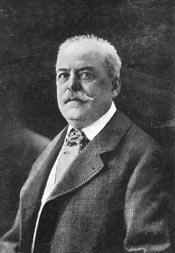
Rodolfo Amedeo Lanciani (1 January 1845 – 22 May 1929) was an Italian archaeologist, a pioneering student of ancient Roman topography, and among his many excavations was that of the House of the Vestals in the Roman Forum.
Contents
Lanciani earned LL.D. degrees from Aberdeen, Glasgow, and Harvard and a Ph.D. degree from Würzburg.
Life
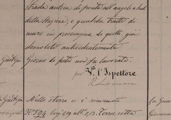
Lanciani was born in Rome, although some state he was born in Montecelio, now Guidonia Montecelio. He was professor of Roman topography at the Università di Roma from 1878 until 1927. He is known today chiefly for his Forma Urbis Romae (1893‑1901) and the Storia degli scavi, a regular summary of Roman excavations that started appearing in 1902. His students included Giulio Giglioli. Together with important British art historians such as Austen Henry Layard he re-edited the original 1843 guidebook to Rome for John Murray.
He was a member of the Accademia dei Lincei, the Academia di S. Lucia, the Berlin Institute, the Royal Academy of Belgium, and the Archaeological Society of Brussels. He received numerous honorary degrees, including those from Aberdeen, Würzburg, Oxford, Harvard, and Glasgow.
He was married twice, first to an American woman and then to the British widow of Prince Colonna.
Lanciani formed a core of distinguished late nineteenth-century scholars of the Roman Forum including Henri Jordan, Christian Huelsen, Samuel Ball Platner, and Thomas Ashby. Richard Brilliant described Lanciani's Ruins and Excavations of Ancient Rome as "undiminished in vitality as a study of ancient Roman ruins" (1967).
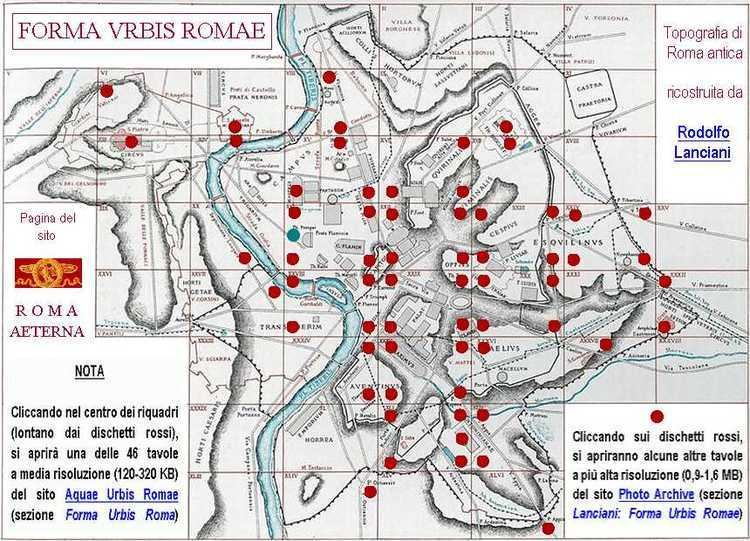
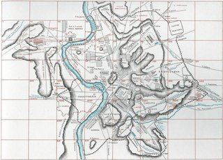
Forma Urbis Romae
Lanciani's great work was the production of a map of the ancient city of Rome. The work was realized as a set of 46 very detailed maps of ancient Rome issued in 1893‑1901, which remains unsurpassed to this day, even if there have been many new discoveries since. The maps measure 25 by 36 inches and were originally presented in a scale of 1:1000. The scheme of the map outlines the ancient buildings of features of Rome in black ink, while the modern city is plotted in red.