
Country United States FIPS code 19-68385 Area 41 ha Population 59 (2013) Local time Tuesday 3:55 AM | State Iowa Time zone Central (CST) (UTC-6) GNIS feature ID 0460760 Elevation 338 m Zip code 51051 Area code 712 | |
 | ||
Weather 6°C, Wind N at 16 km/h, 59% Humidity | ||
Rodney is a city in Monona County, Iowa, United States. The population was 60 at the 2010 census.
Contents
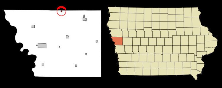
Map of Rodney, IA, USA
Geography
Rodney is located at 42°12′17″N 95°57′5″W (42.204834, -95.951446).
According to the United States Census Bureau, the city has a total area of 0.16 square miles (0.41 km2), all of it land.
2010 census
As of the census of 2010, there were 60 people, 29 households, and 17 families residing in the city. The population density was 375.0 inhabitants per square mile (144.8/km2). There were 31 housing units at an average density of 193.8 per square mile (74.8/km2). The racial makeup of the city was 90.0% White, 8.3% Native American, and 1.7% from two or more races.
There were 29 households of which 31.0% had children under the age of 18 living with them, 41.4% were married couples living together, 17.2% had a female householder with no husband present, and 41.4% were non-families. 41.4% of all households were made up of individuals and 13.7% had someone living alone who was 65 years of age or older. The average household size was 2.07 and the average family size was 2.76.
The median age in the city was 45 years. 28.3% of residents were under the age of 18; 3.4% were between the ages of 18 and 24; 18.3% were from 25 to 44; 21.7% were from 45 to 64; and 28.3% were 65 years of age or older. The gender makeup of the city was 50.0% male and 50.0% female.
2000 census
As of the census of 2000, there were 74 people, 33 households, and 19 families residing in the city. The population density was 444.3 people per square mile (168.1/km²). There were 37 housing units at an average density of 222.2 per square mile (84.0/km²). The racial makeup of the city was 98.65% White and 1.35% Native American.
There were 33 households out of which 27.3% had children under the age of 18 living with them, 45.5% were married couples living together, 9.1% had a female householder with no husband present, and 42.4% were non-families. 39.4% of all households were made up of individuals and 21.2% had someone living alone who was 65 years of age or older. The average household size was 2.24 and the average family size was 3.00.
In the city, the population was spread out with 27.0% under the age of 18, 5.4% from 18 to 24, 31.1% from 25 to 44, 20.3% from 45 to 64, and 16.2% who were 65 years of age or older. The median age was 32 years. For every 100 females there were 100.0 males. For every 100 females age 18 and over, there were 86.2 males.
The median income for a household in the city was $26,250, and the median income for a family was $47,500. Males had a median income of $38,036 versus $27,500 for females. The per capita income for the city was $15,254. There were no families and 5.7% of the population living below the poverty line, including no under eighteens and 11.8% of those over 64.