
- elevation 806 m (2,644 ft) | - elevation 61 m (200 ft) Country Australia | |
 | ||
- location south of Jackson Crossing | ||
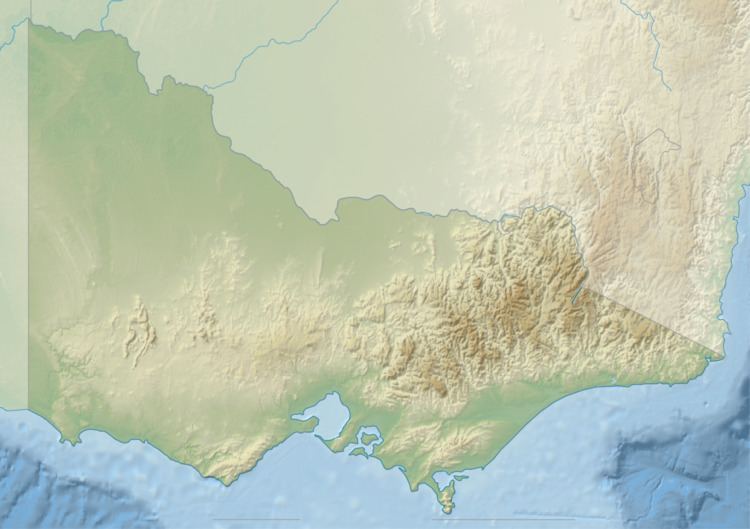
The Rodger River is a perennial river of the Snowy River catchment, located in the Alpine region of the Australian state of Victoria.
Contents
Map of Rodger River, Yalmy VIC, Australia
Course and features
The Rodger River rises below Monkeytop in a remote alpine wilderness area within the Snowy River National Park, and flows generally south, then west, then south, then south by west, joined by the Yalmy River and three minor tributaries, before reaching its confluence with the Snowy River downstream of Jackson Crossing in the Shire of East Gippsland. The river descends 744 metres (2,441 ft) over its 60-kilometre (37 mi) course.
The entire course of the river is contained with the Snowy River National Park.
The traditional custodians of the land surrounding the Rodger River are the Australian Aboriginal Bidawal and Nindi-Ngudjam Ngarigu Monero peoples.