
Country India District Anantapur Time zone IST (UTC+5:30) Population 45,903 (2001) Area code 08555 | State Andhra Pradesh Talukas Roddam PIN 515123 Local time Tuesday 1:11 PM | |
 | ||
Weather 34°C, Wind E at 11 km/h, 31% Humidity | ||
Roddam is a village and a mandal in Anantapur district in the state of Andhra Pradesh in India.
Contents
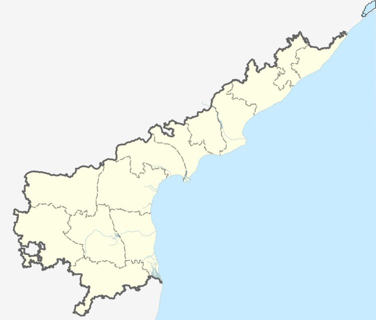
Map of Roddam, Andhra Pradesh 515123
Demographics
According to Indian census, 2001, the demographic details of Roddam mandal is as follows:
Villages
The following is the list of villages in Roddam mandal. 1: YT Reddy Palli, 2: M.Kothapalli (mulakalachruvu), 3: Naranagepalli, 4: Moparlapalli, 5: Thadngipalli, 6: Peddaguvvala Palli (Nandagokulam), 7: Gonimekala Palli, 8: Maruva Palli, 9: Doddagatta, 10: Reddy Palli, 11: Patharla Palli, 12: Chinnakodi Palli, 13: Peddakodi Palli, 14: Turakala patnam, 15: Kurla Palli, 16: Basine Palli, 17: Kandukurla Palli, 18: Lakkasani Palli, 19: Padamantur, 20: Cherukuru, 21: Nalluru, 22: Kallu kunta, 23: Bucherla, 24: Cholemarri, 25: Peddipalli, 26: Sanipalli, 27: Boksam palli, 28: roddakampalli, 29: kottala, 30: gouragupalli, 31: maravapalli, 32: kogira, 33: rachuru,