
Country Canada Time zone MST (UTC-7) Elevation 850 m Local time Tuesday 12:55 AM | Highways 21 Population 316 (2016) Province Alberta | |
 | ||
Weather -3°C, Wind SE at 16 km/h, 74% Humidity | ||
Rockyford is a village in southern Alberta, Canada. It is located 88 km east of the city of Calgary and 56 km south-west of Drumheller. It was founded in 1913 upon the arrival of the Canadian National Railway.
Contents
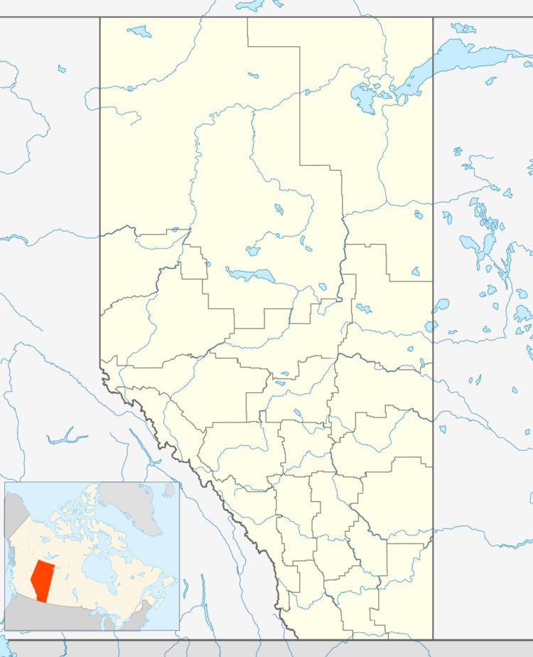
Map of Rockyford, AB, Canada
Demographics
In the 2016 Census of Population conducted by Statistics Canada, the Village of Rockyford recorded a population of 316 living in 144 of its 151 total private dwellings, a 2999720000000000000♠−2.8% change from its 2011 population of 325. With a land area of 1.08 km2 (0.42 sq mi), it had a population density of 292.6/km2 (757.8/sq mi) in 2016.
In the 2011 Census, the Village of Rockyford had a population of 325 living in 137 of its 149 total dwellings, a -6.9% change from its 2006 population of 349. With a land area of 1.08 km2 (0.42 sq mi), it had a population density of 300.9/km2 (779.4/sq mi) in 2011.
In 2006, Rockyford had a population of 349 living in 148 dwellings, a 6.9% decrease from 2001. The village has a land area of 1.05 km2 (0.41 sq mi) and a population density of 332.5/km2 (861/sq mi).