
Quadrant NW Established 1998 Elevation 1,265 m Mayor Naheed Nenshi | Ward 1 Annexed 1989 Population 6,043 (2006) Local time Tuesday 12:39 AM | |
 | ||
Weather -4°C, Wind SE at 14 km/h, 70% Humidity | ||
Rocky Ridge is a residential neighbourhood in the north-west quadrant of Calgary, Alberta. It is located at the western edge of the city, and is bounded to the north by Country Hills Boulevard, to the east by Rocky Ridge Road, to the south by Crowchild Trail and to the west by Twelve Mile Coulee Road.
Contents
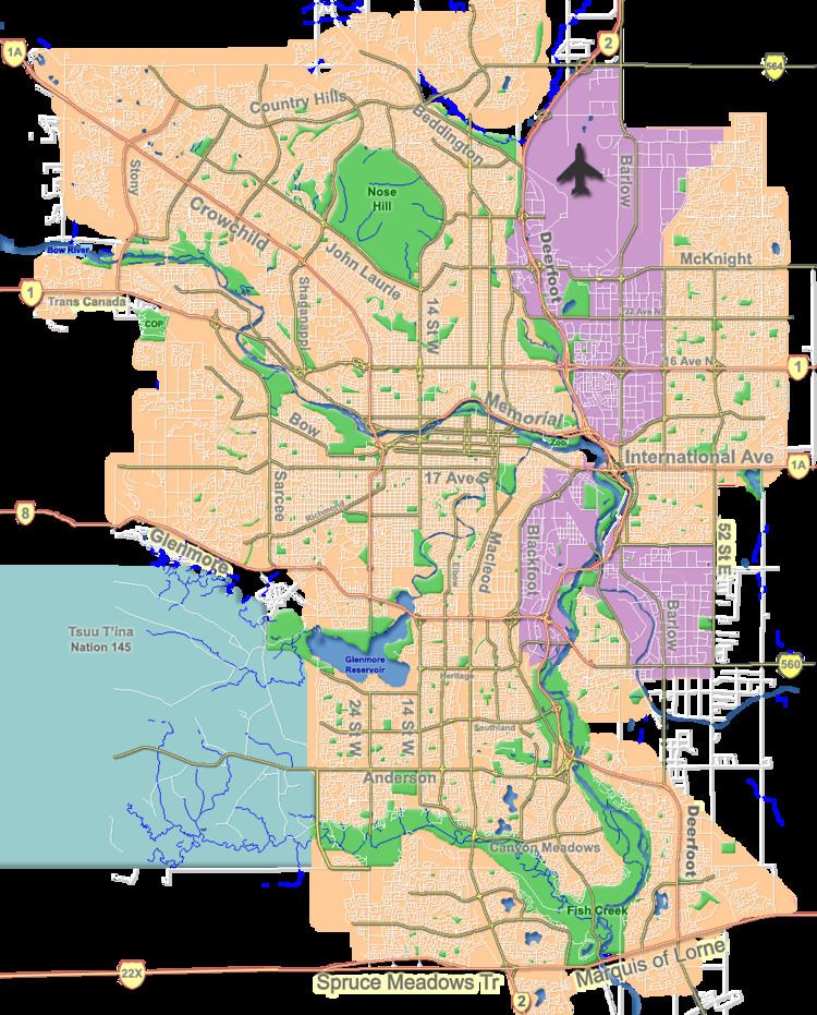
Map of Rocky Ridge, Calgary, AB, Canada
The land was annexed to the City of Calgary in 1989 (from the Municipal District of Rocky View), and Rocky Ridge was established in 1998. It is represented in the Calgary City Council by the Ward 1 councillor.
Rocky Ridge is situated at 1,265 meters (4,150 ft), and with elevation reaching 1,275 meters (4,183 ft).
Demographics
In the City of Calgary's 2012 municipal census, Rocky Ridge had a population of 7003766200000000000♠7,662 living in 7003297200000000000♠2,972 dwellings, a 5.5% increase from its 2011 population of 7003726600000000000♠7,266. With a land area of 2.8 km2 (1.1 sq mi), it had a population density of 2,740/km2 (7,090/sq mi) in 2012.
Residents in this community had a median household income of $84,282 in 2000, and there were 4.5% low income residents living in the neighbourhood. As of 2000, 17.3% of the residents were immigrants. All buildings were single-family detached homes, and 9.1% of the housing was used for renting.
There are many benefits of living in Rocky Ridge, such as the Rocky Ridge Ranch Centre, the community centre. Rocky Ridge is often associated with Royal Oak, the sister community.