
Length 8.0 mi (12.9 km) Nearest metro station Rockaway Boulevard | Maintained by NYCDOT | |
 | ||
Former name(s) Rockaway RoadRockaway Plank Road | ||
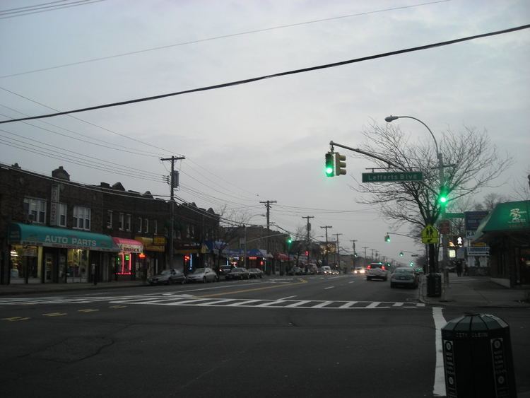
muninyc rockaway boulevard liberty avenue ozone park queens 11417
Rockaway Boulevard is a major road in the New York City borough of Queens.
Contents
- muninyc rockaway boulevard liberty avenue ozone park queens 11417
- Map of Rockaway Blvd Queens NY USA
- Nyc subway far rockaway line rockaway boulevard to beach 67th street
- Route description
- Parks along Rockaway Boulevard
- Transportation
- References
Map of Rockaway Blvd, Queens, NY, USA
Nyc subway far rockaway line rockaway boulevard to beach 67th street
Route description
It begins as an undivided road at Eldert Lane, a small one-way street that runs along the border between Queens and Brooklyn. West of Atlantic Avenue, it is a two-lane road. When it crosses Atlantic Avenue, it widens to four lanes.
Rockaway Boulevard generally runs east-southeast. It crosses the Van Wyck Expressway (I-678) and the Belt Parkway. Just south of the parkway, the Queens segment of the Nassau Expressway (NY 878) ends at Rockaway Boulevard, in a Y-shaped, at-grade junction. Rockaway Boulevard becomes a six-lane divided road at this point and continues southeast to the Queens-Nassau border, where it splits. One branch continues as Rockaway Turnpike (Nassau County Route 257), and the other leads to the southern part of NY 878. Rockaway Boulevard and Rockaway Turnpike were formerly known as Rockaway Road (or Rockaway Plank Road) and the Jamaica and Rockaway Turnpike. The portion of Rockaway Turnpike in Queens (a separate road towards Jamaica) is now called Sutphin Boulevard.
Parks along Rockaway Boulevard
As Rockaway Boulevard cuts diagonally through the rectangular street grid of southeastern Queens, triangular intersections that were too small to develop were designated as parks. These include Legion Triangle, Dixon Triangle, Ruoff Triangle, Corporal Ruoff Square, Wellbrook Triangle, O'Connell Square, Catholic War Veterans Triangle, and Sergeant Colyer Square. Larger parks along the route include Playground One Forty, Baisley Pond Park, and Idlewild Park.
Transportation
The Rockaway Boulevard station (A train) of the New York City Subway serves the boulevard at the intersection of Cross Bay, Rockaway, and Woodhaven Boulevards. In addition, the Q6, Q7, Q113 and Q114 run along parts of the boulevard.