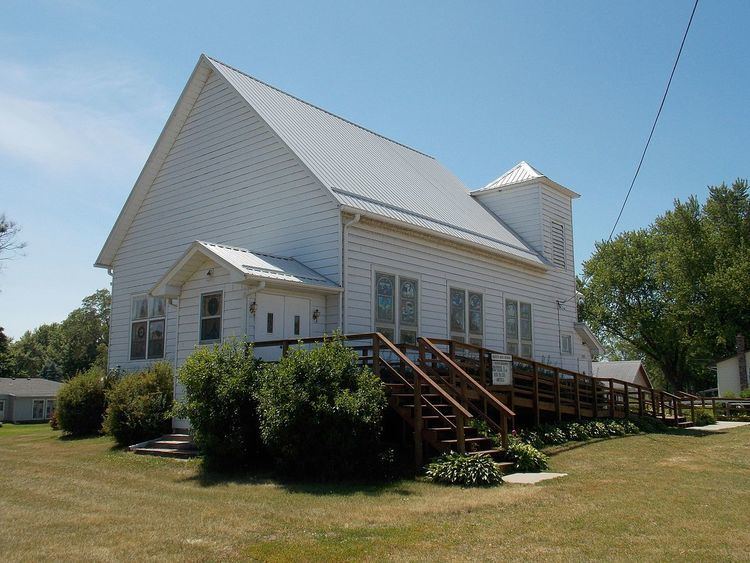
Country United States County Cedar FIPS code 19-67890 Elevation 203 m Population 133 (2010) | State Iowa Time zone Central (CST) (UTC-6) GNIS feature ID 0460704 Zip code 52772 Local time Monday 5:10 PM | |
 | ||
Weather 18°C, Wind NE at 21 km/h, 43% Humidity Area 254 ha (246 ha Land / 5 ha Water) | ||
Rochester is an unincorporated community and census-designated place (CDP) in Rochester Township, Cedar County, Iowa, United States. As of the 2010 census it had a population of 133.
Contents
Map of Rochester, IA 52772, USA
Geography
Rochester is located in eastern Iowa in south-central Cedar County, along the north bank of the Cedar River. County Road F44 crosses the river just south of the community, and Interstate 80 at Exit 265 is 2 miles (3 km) to the south.
History
Rochester was named after Rochester, New York, known for its flour mills, due to its location on the Cedar River.
References
Rochester, Iowa Wikipedia(Text) CC BY-SA
