
Country United States Incorporated Town June 11, 1853 Elevation 238 m Local time Monday 6:10 PM | State Indiana Settled 1835 Incorporated City October 11, 1909 Zip code 46975 Population 6,105 (2013) | |
 | ||
Weather 11°C, Wind SE at 0 km/h, 76% Humidity | ||
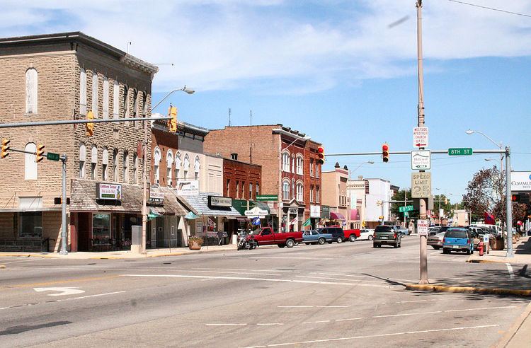
Rochester is a city in, and the county seat of, Fulton County, Indiana, United States. The population was 6,218 at the 2010 census.
Contents
- Map of Rochester IN 46975 USA
- History
- Geography
- 2010 census
- 2000 census
- Parks and recreation
- Historic Structures
- Notable people
- References
Map of Rochester, IN 46975, USA
History
Rochester was laid out in 1835. The founder Alexander Chamberlain named it for his former hometown of Rochester, New York. The Rochester post office was established in 1836.
The Potawatomi Trail of Death came though the town in 1838.
Rochester was incorporated as a city in 1853.
The Lyman M. Brackett House, Fulton County Courthouse, Rochester Downtown Historic District, and John W. Smith House are listed on the National Register of Historic Places. The formerly listed Germany Bridge was located nearby.
Geography
According to the 2010 census, Rochester has a total area of 5.801 square miles (15.02 km2), of which 4.69 square miles (12.15 km2) (or 80.85%) is land and 1.111 square miles (2.88 km2) (or 19.15%) is water.
2010 census
As of the census of 2010, there were 6,218 people, 2,702 households, and 1,650 families residing in the city. The population density was 1,325.8 inhabitants per square mile (511.9/km2). There were 3,211 housing units at an average density of 684.6 per square mile (264.3/km2). The racial makeup of the city was 95.9% White, 0.6% African American, 0.4% Native American, 0.9% Asian, 1.0% from other races, and 1.2% from two or more races. Hispanic or Latino of any race were 3.4% of the population.
There were 2,702 households of which 28.2% had children under the age of 18 living with them, 43.2% were married couples living together, 13.4% had a female householder with no husband present, 4.5% had a male householder with no wife present, and 38.9% were non-families. 33.8% of all households were made up of individuals and 16.1% had someone living alone who was 65 years of age or older. The average household size was 2.26 and the average family size was 2.84.
The median age in the city was 41.6 years. 22.5% of residents were under the age of 18; 8.4% were between the ages of 18 and 24; 22.9% were from 25 to 44; 26.6% were from 45 to 64; and 19.5% were 65 years of age or older. The gender makeup of the city was 47.9% male and 52.1% female.
2000 census
As of the census of 2000, there were 6,414 people, 2,757 households, and 1,734 families residing in the city. The population density was 1,407.4 people per square mile (543.1/km²). There were 3,188 housing units at an average density of 699.5/sq mi (269.9/km²). The racial makeup of the city was 96.24% White, 0.59% Native American, 0.45% African American, 0.84% Asian, 0.86% from other races, and 1.01% from two or more races. Hispanic or Latino of any race were 1.86% of the population.
There were 2,757 households out of which 26.9% had children under the age of 18 living with them, 49.5% were married couples living together, 9.4% had a female householder with no husband present, and 37.1% were non-families. 32.2% of all households were made up of individuals and 16.4% had someone living alone who was 65 years of age or older. The average household size was 2.30 and the average family size was 2.90.
In the city, the age distribution of the population shows 23.6% under the age of 18, 7.8% from 18 to 24, 26.5% from 25 to 44, 22.3% from 45 to 64, and 19.8% who were 65 years of age or older. The median age was 40 years. For every 100 females there were 90.2 males. For every 100 females age 18 and over, there were 87.3 males.
The median income for a household in the city was $33,424, and the median income for a family was $41,949. Males had a median income of $31,446 versus $20,796 for females. The per capita income for the city was $18,866. About 7.8% of families and 11.9% of the population were below the poverty line, including 20.4% of those under age 18 and 8.2% of those age 65 or over.
Parks and recreation
Located on the east side of Rochester, Lake Manitou is a popular place in the summer for boating and other water-related activities.