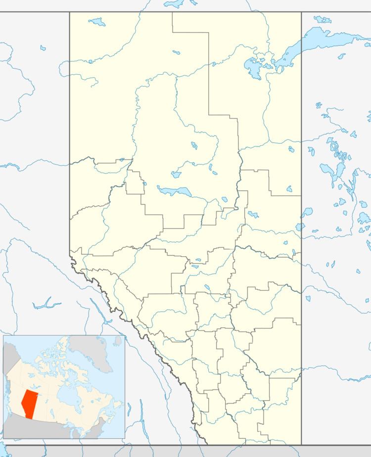
Country Canada Census division 13 Time zone MST (UTC-7) | Province Alberta | |
 | ||
Website www.athabascacounty.com | ||
Rochester is a hamlet in northern Alberta in Athabasca County, located 3 kilometres (1.9 mi) east of Highway 2, 93 kilometres (58 mi) north of Edmonton.
Contents
Map of Rochester, AB, Canada
Demographics
As a designated place in the 2016 Census of Population conducted by Statistics Canada, Rochester recorded a population of 79 living in 38 of its 45 total private dwellings, a change of 2998782000000000000♠−21.8% from its 2011 population of 101. With a land area of 2.44 km2 (0.94 sq mi), it had a population density of 32.4/km2 (83.9/sq mi) in 2016.
As a designated place in the 2011 Census, Rochester had a population of 101 living in 48 of its 52 total dwellings, a -5.6% change from its 2006 population of 107. With a land area of 2.43 km2 (0.94 sq mi), it had a population density of 41.56/km2 (107.6/sq mi) in 2011.
