
Elevation 1,434 m | Mountain range Chartreuse Mountains | |
 | ||
Similar Roche Veyrand, Mont Joigny, Sommet du Pinet, Pointe de la Gorgeat, Mont Outheran | ||
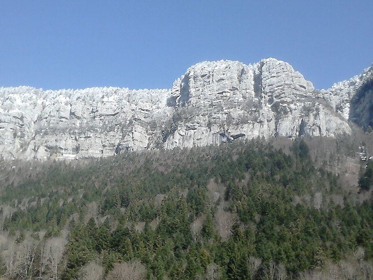
The Roc de Gleisin is a Massif de la Chartreuse mountain located between Entremont-le-Vieux and Saint-Pierre-d'Entremont in Savoie districts. Rock bars on its western side also delimit the territory of Corbel district. The summit is 1,434 metres (4,705 ft) above sea level. The mountain is most composed of limestone.
Contents
Map of Roc de Gleisin, 73670 Entremont-le-Vieux, France
HikeEdit
The top of the roc de Gleisin ridge allows access to Roche Veyrand south, Col de la Cluse north or to return to the town of Saint-Pierre-d'Entremont in Savoie east.
References
Roc de Gleisin Wikipedia(Text) CC BY-SA