
Country United States Time zone CST (UTC-6) Elevation 167 m Local time Monday 1:23 PM University Lincoln Trail College | Established November 5, 1867 ZIP codes 62433, 62454 Area 148.8 km² Population 9,900 (2010) | |
 | ||
Weather 19°C, Wind S at 21 km/h, 46% Humidity | ||
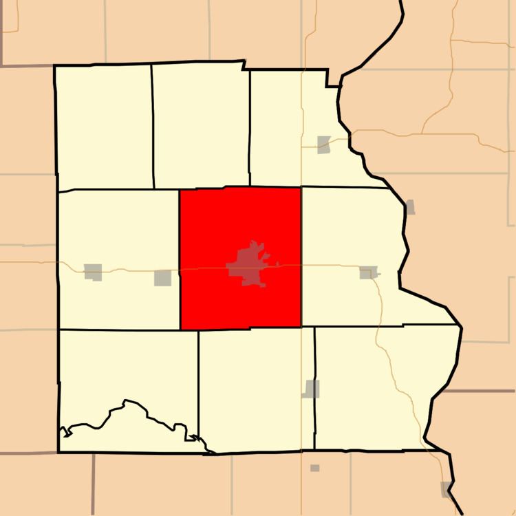
Robinson Township is one of ten townships in Crawford County, Illinois, USA. As of the 2010 census, its population was 9,900 and it contained 4,183 housing units.
Contents
- Map of Robinson Township IL 62454 USA
- Geography
- Cities towns villages
- Cemeteries
- Major highways
- Airports and landing strips
- Lakes
- Landmarks
- School districts
- Political districts
- References
Map of Robinson Township, IL 62454, USA
Geography
According to the 2010 census, the township has a total area of 57.47 square miles (148.8 km2), of which 57.22 square miles (148.2 km2) (or 99.56%) is land and 0.24 square miles (0.62 km2) (or 0.42%) is water.
Cities, towns, villages
Cemeteries
The township contains these six cemeteries: Duncanville, Kirk, Minnick, New Robinson, Newlin and Old Robinson.
Major highways
Airports and landing strips
Lakes
Landmarks
School districts
Political districts
References
Robinson Township, Crawford County, Illinois Wikipedia(Text) CC BY-SA