
 | ||
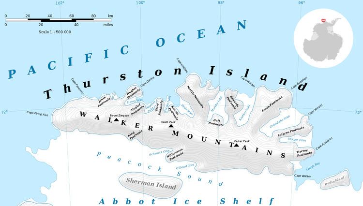
Robbins Glacier (72°10′S 98°41′W) is a broad glacier flowing into the head of Peale Inlet on the north side of Thurston Island. Named by Advisory Committee on Antarctic Names (US-ACAN) after Aviation Radarman James Haskin Robbins of the Eastern Group of U.S. Navy Operation Highjump, aircrewman in the PBM Mariner seaplane that crashed on adjacent Noville Peninsula, December 30, 1946. His energy and initiative contributed to the well-being of six survivors who were rescued Jan 12, 1947 (Ball Peninsula, Mount Howell).
Contents
Map of Robbins Glacier, Antarctica
Maps
This article incorporates public domain material from the United States Geological Survey document "Robbins Glacier" (content from the Geographic Names Information System).
References
Robbins Glacier Wikipedia(Text) CC BY-SA