
River mouth Indian Oceansea level | Main source 2,350 ft (720 m) | |
 | ||
Similar Rivière des Marsouins, Rivière des Remparts, Rivière Saint‑Denis, Rivière des Roches, Rivière Saint‑Étienne | ||
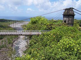
The Rivière de l'Est is a river on the Indian Ocean island of Réunion. It flows northeast from the southeast of the island, reaching the sea between the towns of Sainte-Anne and Sainte-Rose.
Map of Rivi%C3%A8re de l'Est, Reunion
The Rivière de l'Est flows down the slopes of the Shield volcano Piton de la Fournaise from an altitude of 2,350 feet above sea level.
References
Rivière de l'Est Wikipedia(Text) CC BY-SA