
Length 17 km Country Canada | Province Québec | |
 | ||
Main source Brook of sector "Saint-Augustin" in Mirabel50 m (160 ft) River mouth Rivière des Mille Îles15 m (49 ft) Tributaries Left:Ruisseau Charron, ruisseau Desjardins, ruisseau GohierRight:Ruisseau Labelle | ||
The rivière aux Chiens is a tributary of rivière des Mille Îles, flowing on the north shore of the St Lawrence River, in the administrative region of Laurentides, in the southwest of the province of Quebec, in Canada. This river crosses the Regional County Municipality (RCM) of:
Contents
Map of Rivi%C3%A8re aux Chiens, Qu%C3%A9bec, Canada
Geography
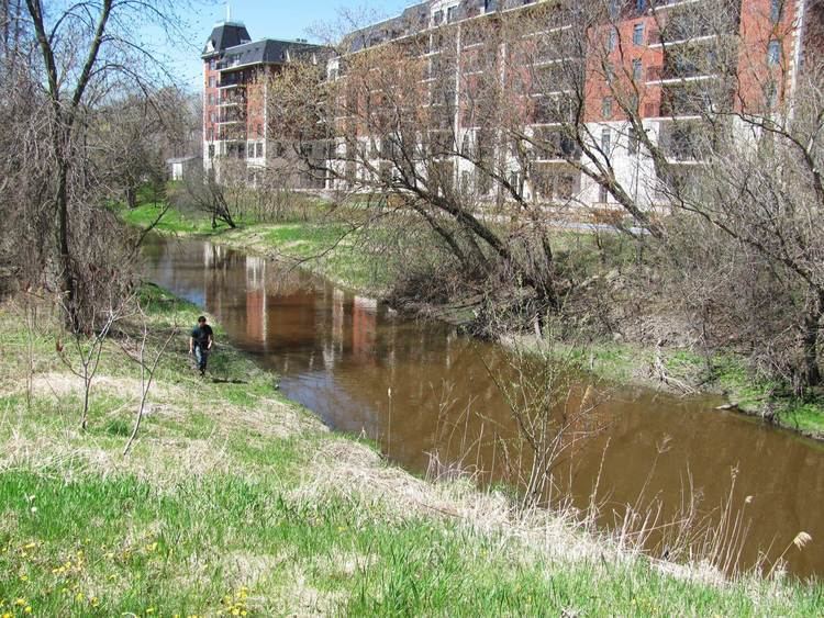
The upper part of this river crosses eastwards an agricultural plain between the village of "Saint-Augustin" (Mirabel) and the urban center of Sainte-Thérèse-de-Blainville. The rest of its course runs through Sainte-Thérèse-de-Blainville and Lorraine.
The "Rivière aux Chiens" has its source near the "Blainville Street East" in Mirabel. This source is located at:
Course of the river
From its source, the "rivière aux Chiens" flows over 17.0 kilometres (10.6 mi), according to the following segments:
The confluence of the "rivière aux Chiens" flows on the north bank of the rivière des Mille Îles or up to limit Rosemère and Lorraine; and 0.5 kilometres (0.31 mi) upstream of Garth island.
Toponymy
The place name "Rivière aux Chiens" reflects the importance that rural families agreed to dogs as pets. On dairy farms, the dog had great help especially for security, movement of herds, hunting and hitch for pulling sleds.
The place name "rivière aux Chiens" was formalized on December 5, 1968 at the Commission de toponymie du Québec.