
Country United States GNIS feature ID 0468625 Area 77.57 km² Population 380 (2010) | Time zone CST (UTC-6) Elevation 283 m Local time Sunday 8:57 PM | |
 | ||
ZIP codes 51639, 51640, 51650, 51652 Weather 21°C, Wind SE at 14 km/h, 43% Humidity | ||
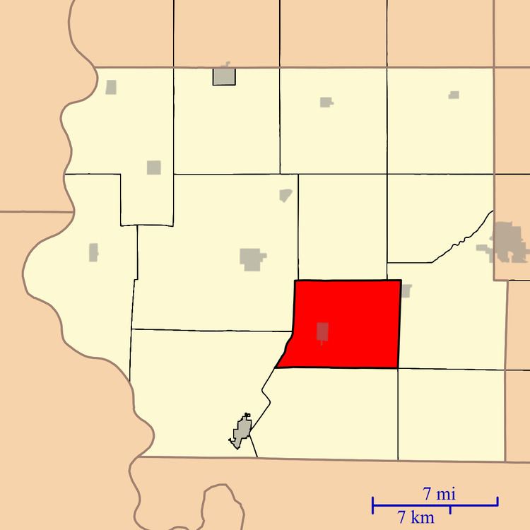
Riverton Township is one of thirteen townships in Fremont County, Iowa, United States. As of the 2010 census, its population was 380 and it contained 181 housing units.
Contents
- Map of Riverton IA USA
- Geography
- Cities towns villages
- Cemeteries
- School districts
- Political districts
- References
Map of Riverton, IA, USA
Geography
As of the 2010 census, Riverton Township covered an area of 29.95 square miles (77.6 km2); of this, 28.67 square miles (74.3 km2) (95.72 percent) was land and 1.28 square miles (3.3 km2) (4.28 percent) was water.
Cities, towns, villages
Cemeteries
The township contains Riverton Cemetery.
School districts
Political districts
References
Riverton Township, Fremont County, Iowa Wikipedia(Text) CC BY-SA