
Country Canada Ward 9 Area 3 km² | Quadrant SE Established 1982 Population 10,319 (2006) | |
 | ||
Weather 4°C, Wind W at 29 km/h, 22% Humidity Restaurants Oishii Sushi, Saigon Maxim, The Station Pub & Grill, Riverbend Peking House, McDonal | ||
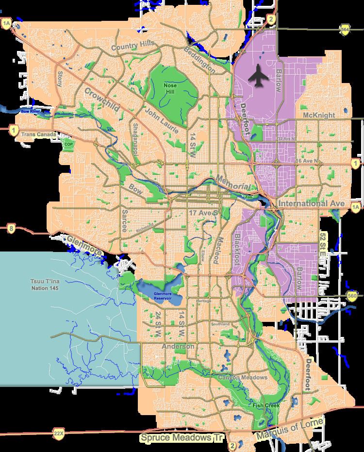
Riverbend is a residential neighbourhood in the south-east quadrant of Calgary, Alberta. It is bounded to the north by Glenmore Trail, to the east by 24 Street E and to the west by Deerfoot Trail. It is developed in the Bow River floodplain, on its escarpment and the upland plain.
Contents
Map of Riverbend, Calgary, AB, Canada
Riverbend was established as a neighbourhood in 1982. It is represented in the Calgary City Council by the Ward 9 councillor.
Demographics
In the City of Calgary's 2013 municipal census, Riverbend had a population of 7003968200000000000♠9,682 living in 7003345000000000000♠3,450 dwellings, nearly identical to its 2012 population of 7003968400000000000♠9,684. With a land area of 4.1 km2 (1.6 sq mi), it had a population density of 2,361/km2 (6,120/sq mi) in 2013.
Residents in this community had a median household income of $78,574 in 2000, and there were 6.1% low income residents living in the neighbourhood. As of 2000, 17.3% of the residents were immigrants. A proportion of 2.5% of the buildings were condominiums or apartments, and 3.5% of the housing was used for renting.
Education
This neighbourhood has one public elementary school: Riverbend Elementary School (K-6), and one Catholic school: Holy Angels Elementary School. (K-6)